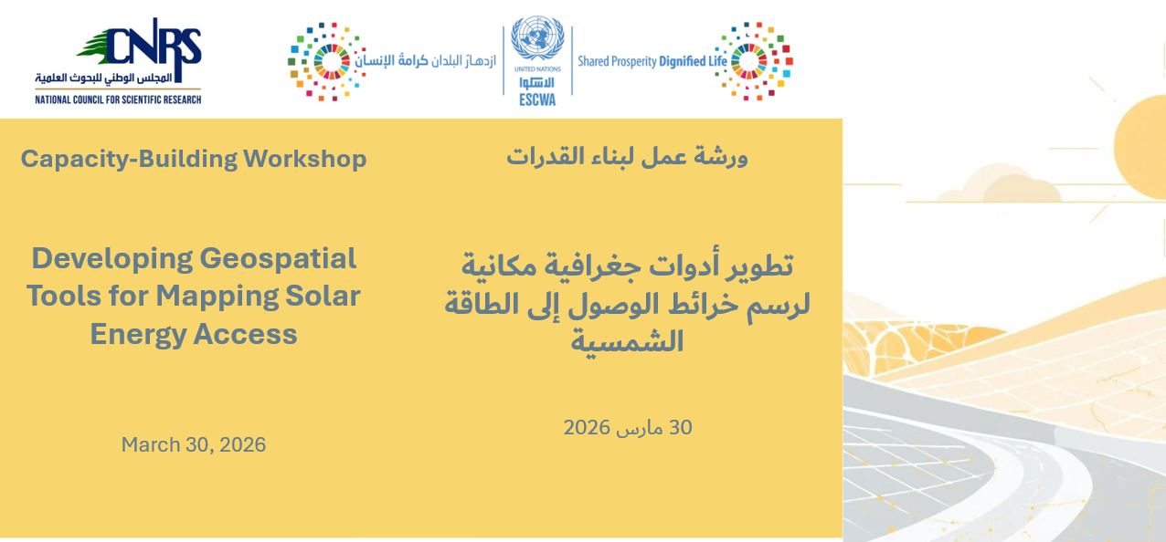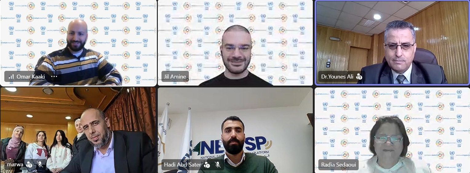
Within the framework of the Improved Mapping and Monitoring of Solar Energy Access for Enhanced Climate Policy Action and Socio-Economic Resilience project, ESCWA organized a virtual capacity-building workshop on 21 April for government representatives of the National Energy Research Center in Syria on developing and applying geospatial digital tools to map, monitor, and analyse access to solar energy.
The workshop provided a detailed, step-by-step process on how to develop AI-enabled geographic information system (GIS) models that detect solar panels, followed by a live demonstration of the detection model, and an analysis of results, including estimates of power generation, energy output, and emissions reductions, supporting evidence-based policymaking and enhanced climate resilience.
The workshop is part of a series of capacity building workshops delivered by ESCWA in partnership with the National Council for Scientific Research – Lebanon (CNRS-L), targeting government officials from Jordan, Lebanon, and Syria.