30 March-15 July 2026
9:00–16:00
Beirut time
Event series

Developing Geospatial Tools for Mapping Solar Energy Access

Event's banner
Location
  • Online
Contact information
Share

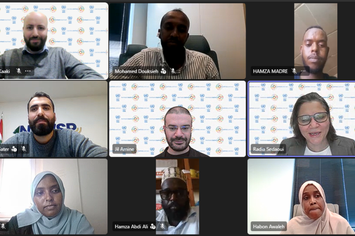
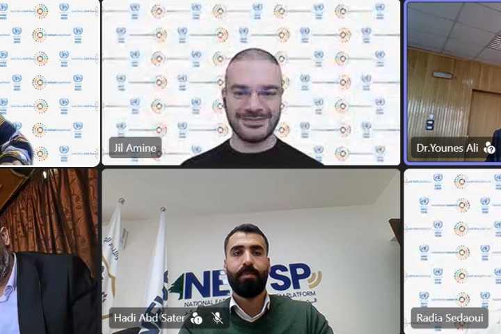
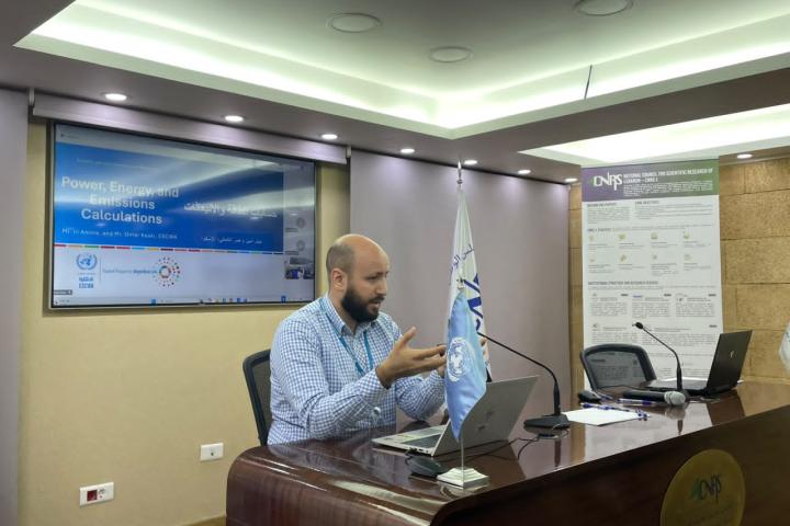
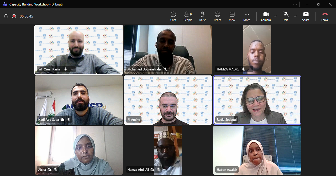
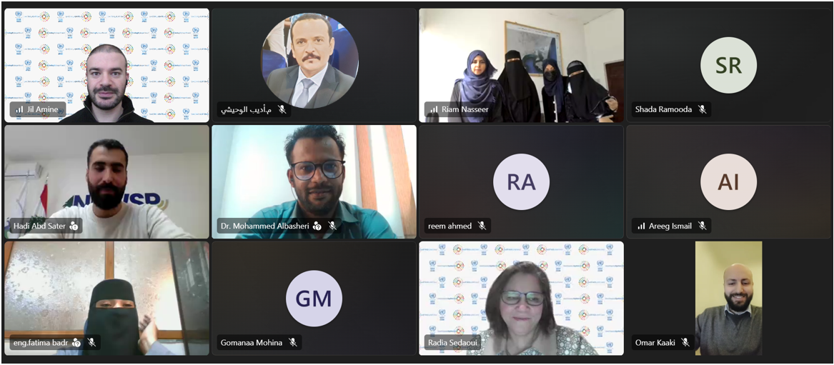
Within the framework of the project: Improved mapping and monitoring of solar energy access for enhanced climate policy action and socio-economic resilience, and in collaboration with the National Council for Scientific Research - Lebanon (CNRS-L), ESCWA is organizing a series of capacity building workshops. These workshops are designed for government officials from Djibouti, Jordan, Lebanon, Syria and Yemen on how to develop and apply geospatial and digital tools for mapping, monitoring, and analyzing access to solar energy.

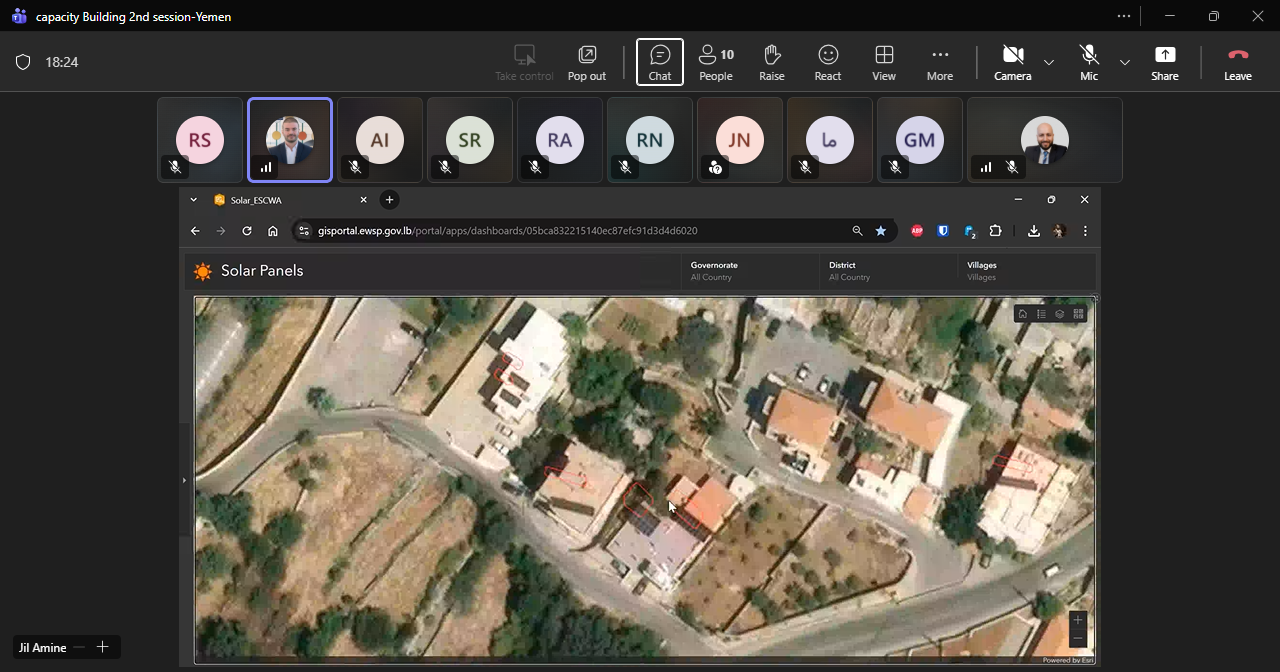
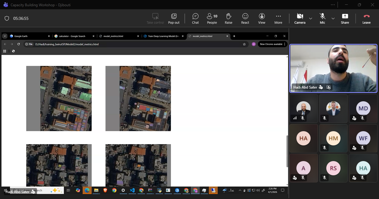
The workshops feature live demonstrations alongside practical training to introduce innovative methodologies for detecting solar photovoltaic (PV) systems using Geographic Information Systems (GIS) and Python programming. Participants receive structured guidance on how to utilize and develop Python code for GIS analysis. The sessions also include a presentation of a detection model created for Lebanon and preliminary detection results from Yemen.

Outcome document

The series of capacity-building workshops strengthened the capacities of government officials from Djibouti, Jordan, Lebanon, Syria, and Yemen to develop and apply AI-enabled geospatial tools for mapping solar energy access. Participants were introduced to the practical application of deep learning, GIS, satellite imagery, and Python programming for detecting solar PV systems and generating evidence-based energy indicators. The workshops demonstrated that AI can significantly improve the speed, scale, and accuracy of solar energy mapping compared to conventional approaches. They also highlighted the importance of high-quality data, continuous model validation, and collaboration among institutions to ensure reliable results. The knowledge gained through the workshops contributed to building national capacities for supporting energy planning, climate action, and monitoring progress towards sustainable development objectives.

The workshops introduced deep learning as a subset of machine learning and artificial intelligence that utilized multi-layered neural networks to learn patterns directly from data. Participants were introduced to the relationship between artificial intelligence, machine learning, and deep learning, as well as the key requirements for successful AI applications, including quality data, computational resources, and continuous model improvement. The session explained how deep learning models automatically learned useful features from satellite imagery. Various computer vision applications were presented, including object detection, image classification, and pixel-level segmentation. The session also presented several deep learning architectures and explored their suitability for solar PV detection and geospatial analysis applications.

The workshops presented a complete workflow for developing and applying a deep learning model for solar PV detection using ArcGIS Pro and Python. Participants learned how to collect and prepare high-resolution satellite imagery, create and label training samples, and export training datasets for model development. The training process included the use of pretrained backbone models and transfer learning techniques to improve performance while reducing training time and computational requirements. Participants were introduced to model training parameters, validation procedures, and performance monitoring. The workflow concluded with the practical application of trained models to new geographic areas to detect solar PV systems automatically. Particular emphasis was placed on iterative model improvement, quality assurance, and the importance of validating outputs against real-world observations and expert review.

The workshops also included technical discussions on the selection and acquisition of satellite imagery, including both commercial and open-source data sources. Participants learned about the factors affecting image suitability for solar PV detection, including spatial resolution, image quality, and the characteristics of the target features. The importance of selecting appropriate image tile sizes and training datasets was also highlighted.

Additional discussions focused on improving model accuracy and reliability. Participants examined approaches to enhance detection performance, including the use of higher-resolution imagery, continuous retraining and refinement of the model, and field verification of detected systems. The workshops highlighted that combining these approaches could significantly improve the quality and reliability of detection results.

The workshops further addressed the detection of solar water heaters, which are common across several of the targeted countries. Participants learned how the model was trained to distinguish between solar PV systems and solar water heaters, emphasizing the importance of high-resolution imagery and carefully designed training datasets to minimize misclassification and improve overall detection accuracy.

The workshops also demonstrated how detected solar PV systems could be converted into actionable indicators for energy and climate policymaking. Following the identification and delineation of solar installations, participants learned how to estimate the installed capacity of each system using area-based conversion factors derived from common PV technologies. The estimated capacity was subsequently used to calculate annual electricity generation based on data from the Global Solar Atlas. Participants were also introduced to methodologies for estimating greenhouse gas emissions reductions by applying national grid emission factors to the estimated electricity generated. These calculations enabled the transformation of AI-generated detection outputs into policy-relevant indicators that supported renewable energy planning, climate mitigation assessments, and monitoring of progress towards national energy and emissions reduction targets.

Event details


Related news

arrow-up icon
Feedback